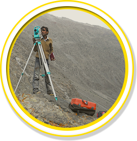
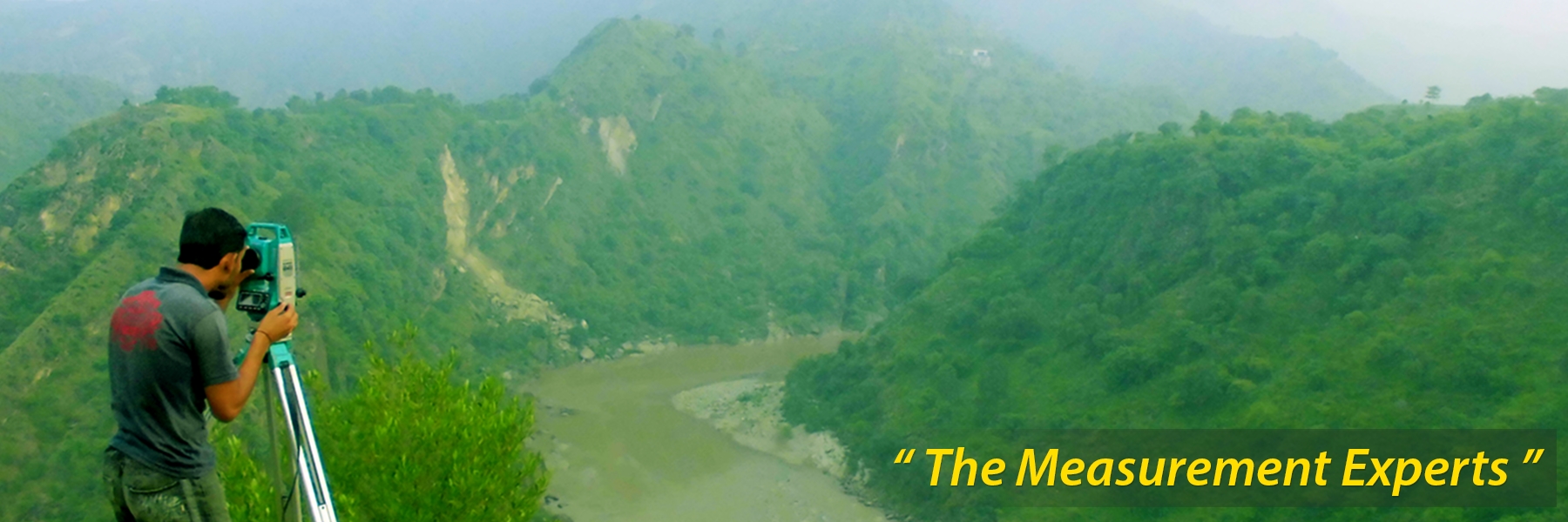
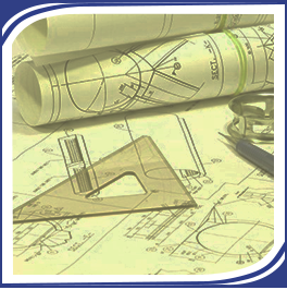
We provide survey and mapping services using GPS, drone and conventional surveying practices. We also provide civil engineering consulting in the following areas:
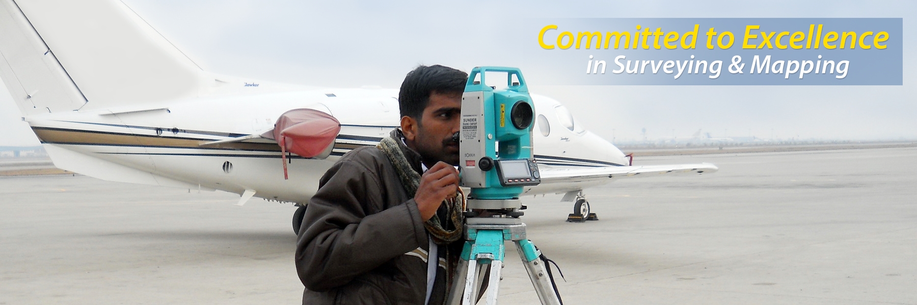
G&ES is a full service civil engineering and land surveying firm serving a variety of clients in both the private and public sectors. We have worked all over Pakistan and overseas including Afghanistan, UAE and Saudi Arabia. We have provided services on projects in the following disciplines:
Airports
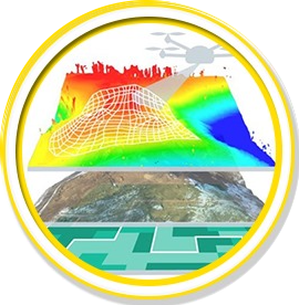
Drone Imagery
As-Built Surveys
Area Development
Hydropower
Thermal Power
Power Transmission
Roads / Highways & Railways
Oil & Gas Industry
Overseas Projects
Miscellaneous
Construction Supervision
Downloads
Please click on the following to download our Company Profile/Overview.
G&ES has completed over 350 projects of various nature and complexity since our inception.
About Us
G&ES stands for quality of service to clients and professional satisfaction of the employees. In today's demanding and complex industry; businesses must rely on experienced and qualified individuals to manage their projects.
G&ES is the only firm Chartered Land Surveying firm in Pakistan. It is headed by a graduate engineer and a Chartered Land Surveyor with over 40+ years of Survey, Mapping and Project Management experience of large projects in Kenya, Tanzania, Libya, Iran, Nigeria, Indonesia, Oman and Pakistan.
Building upon our success, G&ES skills are being utilized both domestically in Pakistan as well as overseas. G&ES has worked on projects in Pakistan, Saudi Arabia and Afghanistan.
We strive to establish proper standards and practices in the field of surveying and engineering consulting. Our goal is to provide
“Value and Quality”
to our clients by performing superior professional design, planning and surveying services on every project we undertake.
We provide high quality services to our clients and are also committed to maintaining excellence, respect, and integrity in all aspects of our professional and business conduct. We strive to reflect the highest ethical standards in our relationships with our clients.
Our mission
Vision
Our vision is to be recognized by our clients as their best partner in the development, delivery and management of superior engineering and design solutions.
Mission
Our mission is to consistently deliver innovative solutions reinforced by responsive client service and a commitment to quality and excellence.
Core Values We invest in our people. At G&ES, we constantly enhance our professional knowledge and skills by staying abreast of the dynamic changes and technological advancements utilized by our clients and the industry.
We believe in partnering with our clients to help ensure their success. We are consistently driven to contribute to our clients’ ability to reach their business goals. After all, we succeed when our clients succeed.
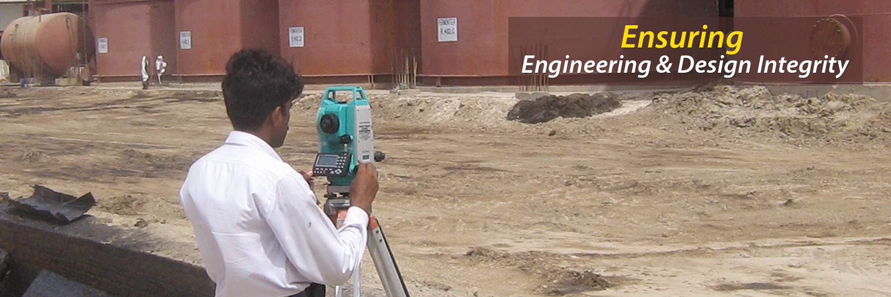
We never compromise on our commitment to quality. The core of what we do is ensuring engineering and design integrity. This defines who we are and our commitment to excellence.
We give back to our communities. Through a variety of community engagement programs, we do our small part to make the world a better place.
We are committed to diversity. The richness of our relationships and the success of our pursuits, individually or collectively, are influenced by the extent to which we respect, listen to and appreciate one another irrespective of differences. In fact, diversity, in all of its forms, is the cornerstone of creativity and innovation.
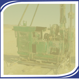
equipment
We are equipped with modern surveying and mapping instruments including echo sounders, geodetic class Leica and FOIF GPS, handheld GPS etc.
Total Stations:
Topcon GPT-3502LN (Reflectorless; Upto 2km Range)1Ruide R21Sokkia Set 530 R + Accessories (Japan Made)1Sokkia Set 610 K + Acessories (Japan Made)1Sokkia Set 630 R 1DADI Total Station (Chinese Made) + Accessories1Leica TPC 407 (Swiss made) + Accessories1Nikon DTM 332 (Japan)1
Construction Supervision of Boundary Wall Project, Canal View, Lahore
Facade Mapping of Historical Building in Karachi
Water Wells Elevation Survey at Engro Polymer Plant and Kemari Terminal, Karachi
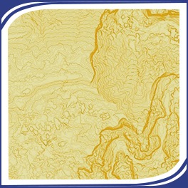
Geomatics/GIS
Land & Hydrographic Surveying
Terrestrial mapping of architectural sites
Mapping through Terrestrial Photogrammetry
Engineering & Construction Projects Surveying and Mapping
Dimensional control on mechanical installations
Cadastral Surveying
Deformation monitoring
GPS control surveys
Estate Management & Evaluation
Digital Contouring
Facade Mapping of buildings
Drone imagery and videography
Engineering Consulting
Roads, Highways and Railways
Pavement Design
Airport Planning & Engineering
Power Transmission Line & Grid Stations
Hydropower Projects
Thermal Power Plants
Structural Design
G&ES also provides architectural, structural engineering, geotechnical investigation and pile foundation design services.
Architectural
In collaboration with our associate architectural firms we provide architectural design, 3D renderings and interior design services.
Canal View Cooperative Housing Society (Lahore) Main Entrance (Conceptual Design, Architectural Design, 3D Renderings, Detail Construction Drawings)
Geotechnical Investigation
G&ES also provides architectural, structural engineering, geotechnical investigation and pile foundation design services.
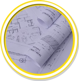
Computer Aided Drafting/Mapping
G&ES does all its drafting in house and also provides off-shore CAD services to companies overseas.
Airports
G&ES provides a full spectrum of planning and engineering solutions at general aviation as well as commercial aviation airports keeping in line with the ICAO and FAA standards and guidelines.
Topo Survey of New Gwadar International Airport, Gwadar (4300 Acres)
Topo Survey of Peshawar International Airport, Peshawar (55 Acres)
As Built Survey of Sialkot International Airport, Sambrial (1,025 Acres)
Area Development
G&ES has extensive experience in providing planning services to clients looking to plan, design and layout housing schemes, golf courses, schools, universities, hospitals, hatcheries etc.
Topographic Survey of Housing Society, Gwadar (130 Acres)
Golden Lake, Gwadar (30 Acres)
Dubai City, Gwadar (80 Acres)
Belgium School, Gwadar
Defense Housing Authority, Islamabad
High Rise Building Site, Gwadar (12 Acres)
Topographic Survey for Hatchery Building, Lahore (4 Acres)
DHA-Phase II, Rawalpindi (40 Acres
Topo Survey Bilal Market Ravi Road, Lahore (7.8 Acres)
Topo Survey 2 Plots of Sargohda University, Sargodha (100 Acres)
Topo Survey- Makro-Habib Site, Lahore (86 Kanals)
Defense Raya Golf Course, Lahore (127 Acres)
Makro Habib Site - Bedian Rd, Lahore (64 kanals)
Chitral Lines Topo Survey, Lahore (90 Kanals)
Topo Survey of Pearl Continental Hotel, Lahore
Oasis Resorts Site Topo Survey, Manga Mandi (200 Acres)
Topo Survey of Maryam Town, Raiwind (30 Acres)
Ghaus Farms Housing Scheme, Raiwind (70 Acres)
Multan Medical College, Multan (10 Acres)
Durab Lake Resort, Chakwal (400 Acres)
Survey of Punjab Cooperative Housing Society, Punjab (220 Acres)
As built survey of Lake City, Raiwind Road (10 Acres)
GC University New Campus, Kala Shah Kaku (363 Acres)
Ashiana Housing Scheme, Punjab (92 Hectares)
Topo Survey Dera Rakh Chahal, Lahore (800 Acres)
Journalists Housing Society Harbanspura, Lahore
50MW Solar Power Plant, Kallar Kahar (380 Acres)
Dubai School, Lahore (11.5 Kanals)
Geotechnical Investigation at Oasis Office, Lahore
Daanish School - Jhand, Attock District (335 Acres)
Topographic Survey of Phoolnagar Site, Punjab (8 Kanals)
Topo Survey of DHQ Hospital, Sialkot (333,000 sq ft)
Topo Survey of Pakistan Kidney & Liver Institute, Bedian Road
Drone Imagery
G&ES has worked on the following projects
Drone Imagery Mapping of sites in Phander & Gilgit
Drone Imagery Mapping of D-Block Tariq Gardens
Drone Imagery Mapping of Bank Square Market, Model Town
Drone Imagery Mapping of Model Town Central Park-Portion Behind Bank Square Market
Drone Imagery Mapping and Videography of property in DHA Phase 6 for proposed mixed development
Drone Imagery Mapping of Model Town Linear Park (along Ferozpur Road)
Drone Imagery Mapping of 7 Pedestrian Bridges in Swat
Drone Imagery Mapping of 500 kanals near Tret, Murree
Drone Imagery Mapping of Bonyo Bridge, Swat
Drone Imagery Mapping of Bonyo Bridge and Oach Bridges, Swat
Drone Imagery Mapping of 11,000 kanals, Gujjar Khan
As-Built Surveys
G&ES has worked on the following projects all over Pakistan
As Built Outline Survey Office Bldg.
CAD Mapping of THQ Hospitals in Lahore District
Topographic Survey & As-Built Plans for Badami Bagh Workshop
As-built Survey of Khaadi Store – Fortress Square Mall, Lahore
As-built Survey of Khaadi Store – Rawalpindi Saddar
As-built Survey of Khaadi Store – Y-Block, DHA, Lahore
As-built Survey of Khaadi Store, Peshawar
As-built Survey of DHQ Hospitals in KPK
Topo Survey and As Built Plans for Chaudry Rehmat Ali Hospital (Trust), Township, Lahore
Hydropower
G&ES has worked on horizontal and vertical control, topographic survey, setting out works, survey benchmarks, cross sections etc at a number of hydropower projects in Pakistan
Jinnah Hydropower Project, Mianwali
Ujala Hydropower Project, Azad Jammu & Kashmir
Khokhara Hydel Project, Punjab )
Munda Multipurpose Dam Project, KPK
Khokhara Hydel Project, Punjab
Lower Bari Doab Canal Hydro, Punjab
Gabral Kalam Hydropower Project, Swat
Patrind Hydropower Project - Azad Jammu & Kashmir
Ghabir Dam Project, Punjab
Dassu Hydropower Project, KPK
10 Small Dams Project, Soan Valley, Punjab
Suki Kinari 655 MW Hydropower, KPK
Kheyal Khawar Hydropower Project, KPK
Golan Gol Hydropower Project, KPK
Patrind Hydropower Project, KPK
Ghazi Barotha Baseline Inspection, Attock District
3rd Periodic Inspection Warsak Dam, KPK
Shagarthang Hydropower Project, Gilgit
Ashkot Hydropower Project, Azad Jammu & Kashmir
Gulpur Hydropower Project, Azad Jammu & Kashmir
Patrind Hydropower Project, Azad Jammu & Kashmir
Azad Patton Hydropower Project, Azad Jammu & Kashmir
Thermal Power
Over the years, G&ES has provided its expertise in surveying and mapping as well as setting out surveys of various installations at thermal power stations throughout Pakistan.
175MW Fauji Foundation Thermal Station, Sindh (100 Acres)
123 MW Bikki Power Plant, Sheikhupura (48 Acres)
150 MW Combined Cycle Power Plant, Pasrur (70 Acres)
Topo Survey & Geotech Study of Nishat Chunian Thermal Station (120 Acres)
Power Transmission
G&ES has provided topographic survey and route survey as well as tower spotting services to clients on power transmission line projects in Pakistan and Azad Jammu & Kashmir.
Muzafargarh - Gati Power line Project, Punjab
Al-Anin Powerline Project, UAE
Jinnah Hydropower Project to Mari Grid Station, Punjab
Neelum-Jhelum Hydropower Project to Rawat & Ghakhar, AJK & Pakistan
Dassu-Islamabad 765 KV Power Transmission Line, AJK & Pakistan
Roads / Highways & Railways
G&ES has extensive experience working on topographic survey, cross sections and on highway design of primary, secondary and tertiary roads projects in Pakistan and Afghanistan.
Quetta - Chaman Road survey, Balochistan (120km)
Sibi - Mach Rd Feasibility Study, Balochistan (97km)
Topo survey of Bostan - Zhob Railway, Balochistan (295km)
Topographic Survey of 5 Bypasses on N-5 Highway (15km)
Road Survey at Kheyal Khwar Hydropower Project, KPK (6.5km)
Golan Gol Hydropower Project Access Road, KPK (7.5km)
Pashdan Dam Project Detour Highway (Herat), Afghanistan (2.9km)
Design of Main Roads and New Storm Water Drainage System, Canal View, Lahore
Construction Supervision of Main Roads & New Storm Water System Project, Lahore
Oil Industry
G&ES Chief Executive has extensive experience working on oil industry projects in Libya. G&ES has worked on oil and gas pipeline projects for various PAPCO and other clients in Pakistan.
Route & Topo Survey at PAK ARAB Refinery Limited, Karachi (35 Acres)
GPS Control Iran-Pakistan Gas Pipeline, Balochistan (800km)
Topo Survey of Iran-Pakistan Gas Pipeline, Balochistan (200km)
Overseas Projects
G&ES has worked for overseas clients in UAE, Saudi Arabia and Afghanistan on a number of projects providing surveying and mapping as well as off-shore CAD services to clients.
North Turnak Canal, Kandhar, Afghanistan (20km)
Mapping of Chaman - Kandhar Railway, Afghanistan (110km)
CAD and Surveying Services to Riyadh GeoTech for Saudi Railway (2200km)
CAD and Surveying Services to Riyadh GeoTech for Saudi Railway (2200km)
Machalgho Dam, Afghanistan
Pashdan Dam Project, Heart, Afghanistan (2.9km)
Al-Ain Powerline Route Survey, UAE (29km)
Miscellaneous
G&ES has worked on drainage design, as-built surveys, topographic surveys, construction supervision and provided engineering consulting services to clients in Pakistan.
Measurements of the Sundar Sharif Shrine Dome, Sundar
Bulleh Shah Paper Mill Project, Punjab
Satpara Irrigation Channel, KPK
Verticality Checks on Tall Buildings, Islamabad
Rohi Nallah Strip Survey, Punjab
South Lahore Sewerage & Drainage Project, Lahore (150km)
Topo Survey at United Ethanol Industries, Punjab (27 Acres)
As Built Survey 17-A Shadman Colony, Lahore
Sialkot Drain Survey, Sialkot
350 Beds Hospital, Bahawalpur
Tajpura Scheme Area, Lahore
Sharif Farms, Chiniot (53 Acres)
GPS Control Iran-Pakistan Gas Pipeline, Balochistan (800km)
Topo Survey of Iran-Pakistan Gas Pipeline, Balochistan (200km)
G&ES provides construction management and supervision services.
Rehabilitation of Roads and New Storm Water Drainage System at Canal View, Lahore
Boundary Wall Construction Project, Canal View, Lahore
Unmanned Aerial Vehicle (Drone)
G&ES has a DJI Phantom 4 Pro to undertake UAV mapping of sites. Drones are being used more frequently for undertaking drone surveys to generate survey drawings and also use the drone data in GIS projects.
Geographic Information System (GIS)
Geographic information system (GIS) consists of integrated computer hardware and software that store, manage, analyze, edit, output, and visualize geographic data. G&ES uses state of the art GIS software and tools to work on GIS related projects.